


Discover the Land of Green
Medahalli
Where Rural Heritage meets modern connectivity, at the threshold of Bangalore East's development.
Our Foundation and Identity
The Tranquil Heart of Bangalore Rural
Medahalli is a quaint village located near **Whitefield**, around the 8th mile on the outskirts of Bangalore, in the Bangalore Rural district of Karnataka. While Whitefield is known for its fast-paced urban development, Medahalli provides a refreshing contrast with its **serene ambiance and rustic charm**.
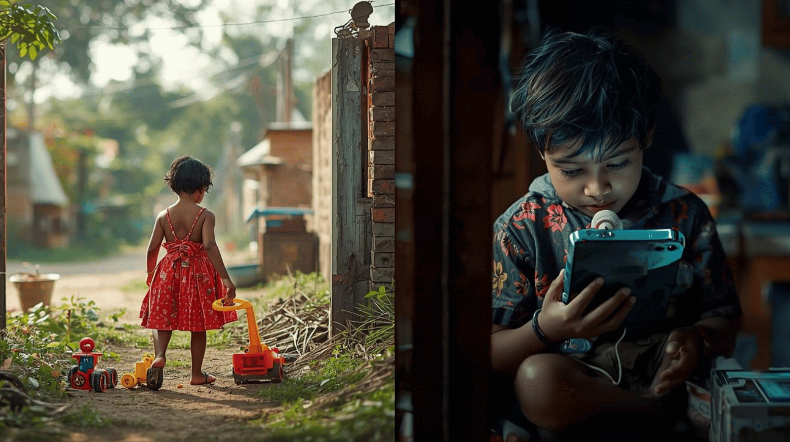
Nestled amidst lush greenery and agricultural fields, Medahalli offers a glimpse into the traditional rural life that Bangalore was once known for. It's an ideal escape from the hustle and bustle of the city. The warmth and hospitality of the locals make visitors feel welcome, allowing them to experience the true essence of rural life.
Agricultural Backbone & Economy
Agriculture forms the backbone of the local economy. The fertile soil and favorable climate support cultivating crops, including **paddy, sugarcane, and vegetables**. Residents are predominantly involved in farming or other traditional occupations.
Cultural & Spiritual Hub
Medahalli's spiritual heart is the **Sri Prasanna Veeranjaneya Swamy Temple**. It serves as a central cultural landmark, hosting vibrant festivals and providing a peaceful setting for worship and spiritual connection.
Administrative Coordinates
Official Pin Code
560117
Whitefield, 8th Mile Region
Local Governance
Devangundi Grama Panchayat
Anugondanahalli Hobli
Regional Tier
Hoskote Taluk
Bangalore Rural District, Karnataka
Medahalli in Numbers: A Snapshot of Progress
507
Total Population (2011)
Adults & Children | Official Census
414
Registered Voters (2022)
Adult Population (18+) | Electoral Roll
1036
Female Sex Ratio
Per 1000 Males (Census 2011)
77.02%
Literacy Rate
Above State Average (2011)
Voter Demographics (2022)
The adult female population is higher than the male population, continuing the positive sex ratio trend.
The Spiritual Heart: Prasanna Veeranjaneya Swamy Temple
Nestled in the serene and spiritually enriching surroundings of Medahalli, this sacred abode is a beacon of faith for devotees from across the region. The temple is a fine example of traditional South Indian temple architecture.
Dedicated to the principal deity, **Prasanna Veeranjaneya Swamy** (Hanuman), the temple also reveres **Goddess Lakshmi** and **Lord Ganesha**. Devotees seek Hanuman's blessings for **strength, courage, and protection**, while Lakshmi is worshipped for prosperity and Ganesha as the remover of obstacles.
Hanuman
Devotion & Strength
Goddess Lakshmi
Wealth & Prosperity
Lord Ganesha
Remover of Obstacles
Major Festivals
- **Hanuma Jayanti** (Primary Festival)
- **Varamahalakshmi Pooje**
- **Ganesha Chaturthi**
- **Navaratri** and **Diwali**
Anjanadri Trust Contact
**+91 9743660117**
*WhatsApp & Contact Number
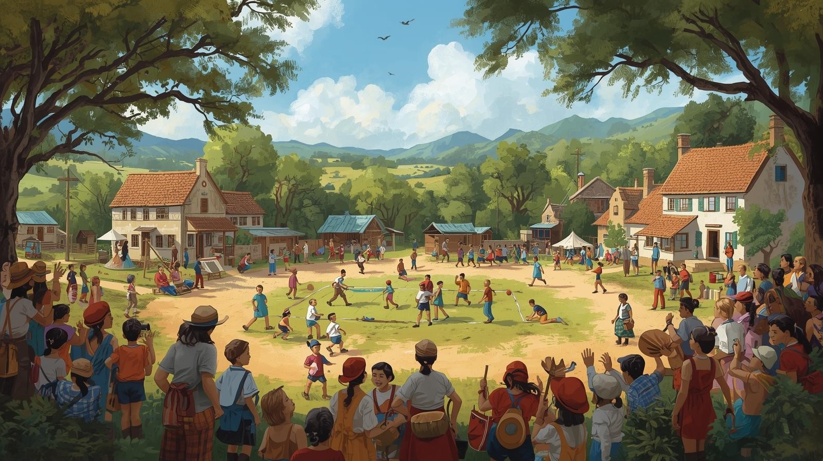
Glimpses of Medahalli Life
Harvest
Tradition
Community
Pillars of Our Progress
Green Fields & Farming
Our economy is deeply rooted in **agriculture**, maintaining the natural beauty and productivity of Bangalore Rural. We honor the legacy of our rich soil and traditional practices.
Proximity to IT Hubs
Situated close to **Whitefield** and major employment centers, Medahalli is perfectly positioned to leverage urban opportunities while preserving a peaceful living environment.
A Stronger Sex Ratio
Our high Female Sex Ratio of **1036** is a point of community pride, reflecting a supportive environment and dedication to the well-being and education of all residents.
Explore Our Hidden Gem
Whether you are looking for a peaceful retreat or a place that combines rural tranquility with urban conveniences, Medahalli is a hidden gem worth exploring. Connect with us!
Email Us: [email protected]


